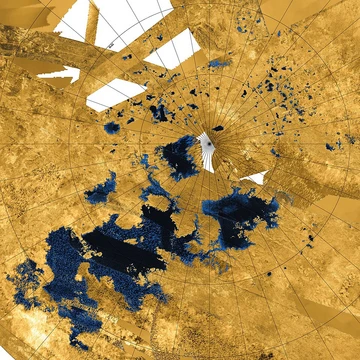
Lake Balkhash
Large Central Asian lake with fresh and saline halves.

via Wikipedia: Lake Balkhash · see source
Lake Balkhash, also known as Lake Balqash, is a large endorheic lake in southeastern Kazakhstan. It is one of the largest lakes in Asia and the 15th largest in the world. The lake is notable for its unusual division into a freshwater western half and a saline eastern half, connected by the narrow Uzynaral Strait. Like the Aral Sea, it is shrinking due to diversion and extraction of water from its feeders, raising environmental concerns about desertification and the impacts of climate change.
- location
- Southeastern Kazakhstan, Balkhash-Alakol Basin
- area
- About 16,400 km² (2000)
- max_depth
- 26 m (eastern basin)
- average_depth
- 5.8 m
- primary_inflow
- Ili River (73–80% of inflow)
- type
- Endorheic, semi-saline lake
- notable_feature
- Freshwater west, saline east
Verified Timeline
Lore & Background
Lake Balkhash lies in the deepest part of the Balkhash-Alakol depression, which was formed by a sloping trough between mountains of the Alpine orogeny and the older Kazakhstan Block during the Neogene and Quaternary. Rapid erosion of the Tian Shan filled the depression with sand river sediments. The basin is a part of Dzungarian Alatau, and the lake is a remnant of an ancient sea which once covered the entire depression but was not connected with the Aral–Caspian Depression. The present name originates from the word 'balkas' of Tatar, Kazakh and Southern Altai languages, meaning 'tussocks in a swamp'. From as early as 103 BC up until the 8th century, the Balkhash polity was known to the Chinese as Yibohai. From the 8th century on, the land to the south of the lake was known in Turkic as Jetisu 'Seven Rivers'. Beginning in 1759, the lake marked the northwesternmost limit of Qing suzerainty. In 1864, the lake and its neighboring area were ceded to the Russian Empire under the Treaty of Tarbagatai. With the dissolution of the Soviet Union in 1991, the lake became part of Kazakhstan.
Reader's Guide
Lake Balkhash is significant as one of the largest lakes in Asia and a unique hydrological feature due to its division into freshwater and saline sections. It supports local economic activities including mining, ore processing, and fishing, with the largest shore city, Balkhash, housing about 66,000 inhabitants. The lake's shrinkage mirrors that of the Aral Sea, highlighting the environmental impact of water diversion and industrial extraction. The Ili River, which provides 73–80% of the inflow, is increasingly regulated by dams like the Kapshagay Hydroelectric Power Plant, built in 1970, which altered the lake's water balance and salinity. The lake's historical role as a boundary marker for Qing China and later the Russian Empire underscores its geopolitical importance in Central Asia. Ongoing concerns about desertification and climate change threaten the lake's ecosystems and the livelihoods of those dependent on it.
Did You Know?
- The lake's name comes from the Tatar, Kazakh and Southern Altai word 'balkas', meaning 'tussocks in a swamp'.
- The Saryesik Peninsula, which divides the lake, means 'Yellow Door' in the Kazakh language.
- In 1910 the lake covered an estimated 23,464 km², but by 1946 it had shrunk to 15,730 km².
- The Ili River provides 73–80% of the lake's inflow, fed largely by vernal snowmelt from China's Xinjiang region.
- The lake contains 43 islands with a total area of 66 km², and new islands are forming as the water level drops.
A Lake Divided by Nature
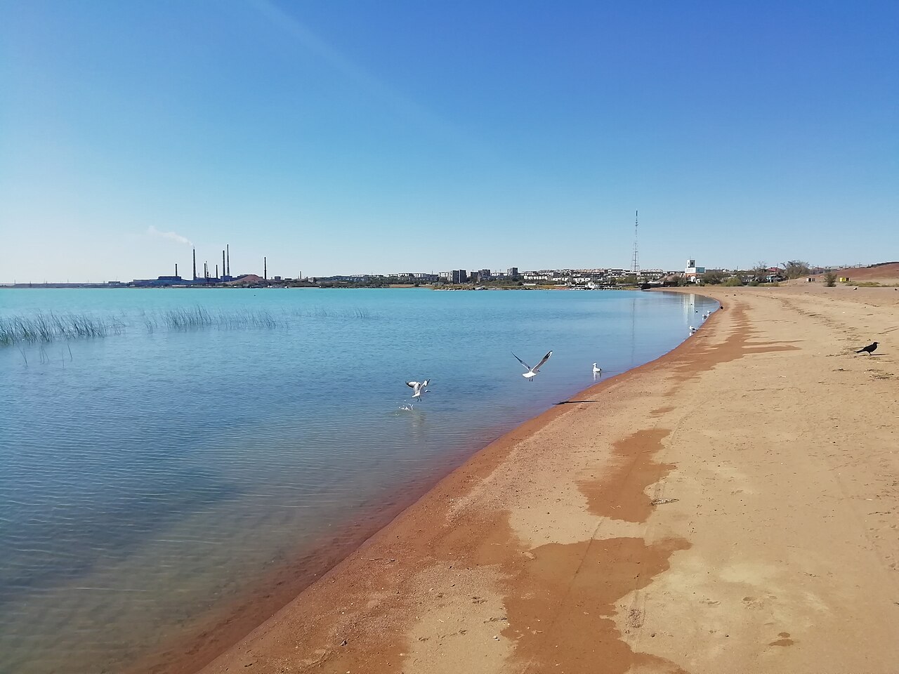
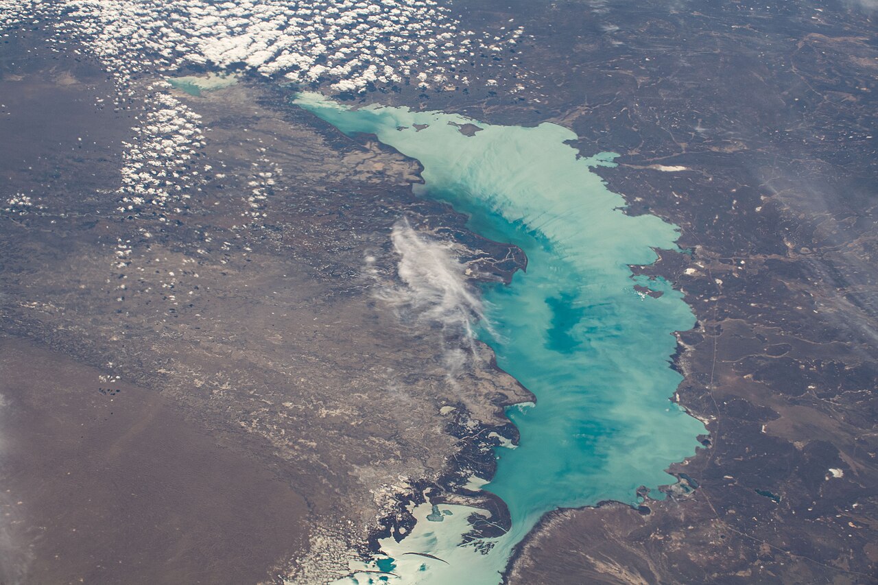
Lake Balkhash stretches roughly 600 kilometres across southeastern Kazakhstan in a gentle curve shape with jagged shorelines. What makes this body of water truly remarkable is that the Saryesik Peninsula, meaning 'Yellow Door' in Kazakh, splits it into two hydrologically distinct halves. The western portion, covering 58 percent of the surface but only 46 percent of the total volume, is a relatively shallow, calm freshwater expanse. The eastern half, by contrast, is saline and on average 1.7 times deeper, with its deepest basin reaching 26 metres. The two are linked by the Uzynaral Strait, a passage 3.5 kilometres wide and about six metres deep. The lake sits at about 340 metres above sea level, holds approximately 112 cubic kilometres of water, and contains 43 islands spanning 66 square kilometres. Its western and northern shores rise 20 to 30 metres and are rocky, composed of Paleozoic rocks such as porphyry, tuff, granite, schist and limestone. The southern shores near the Ili River delta are low, sandy, and prone to flooding.
Lifelines from the Mountains
Lake Balkhash exists within a closed endorheic basin, meaning no river carries its waters out to the sea. The Balkhash-Alakol Basin covers 512,000 km2, and its average surface water runoff is 27.76 km3/year, of which 11.5 km3 comes from China. The drainage basin of the lake is about 413,000 km2, with 15% in the north-west of Xinjiang in China. The Ili River is the dominant feeder, accounting for 73–80% of the inflow, bringing 12.3 km3/year or 23 km3 per year. The Ili is fed by precipitation, largely vernal snowmelt, from the mountains of China's Xinjiang region. The Karatal and Aksu rivers contribute additional surface and subsurface flow, while the Tokrau from the north loses its waters in the sand before ever reaching the shore. The eastern part of the lake is also fed by groundwater. The Ayaguz, which fed the east half until 1950, seldom reaches Lake Balkhash. Altogether, Balkhash captures 86 percent of the total water inflow within the Balkhash-Alakol basin.
A Crossroads of Empires
The name Balkhash derives from the Tatar, Kazakh, and Southern Altai word 'balkas', meaning 'tussocks in a swamp'. Long before modern borders, the lake was the heart of a polity the Chinese recorded as early as 103 BC under the name Yibohai. From the eighth century onward, the fertile strip between the lake and the Tian Shan mountains became known in Turkic as Jetisu, 'Seven Rivers', a cultural melting pot where nomadic Turks and Mongols mingled with settled Central Asian peoples. In 1759 the lake was formally recognised as the northwesternmost limit of Qing suzerainty, a line both the Qing court and Russia acknowledged. A century later, the 1864 Treaty of Tarbagatai transferred the lake and its surrounding territory to the Russian Empire. After the Soviet Union dissolved in 1991, the waters of Balkhash became part of the newly independent Republic of Kazakhstan, completing a long journey through successive empires.
A Shrinking Mirror
Once considerably larger than it is today, Lake Balkhash has been contracting for well over a century. In 1910 its surface area was estimated at 23,464 km2; by 1946 it had lost nearly a third, shrinking to 15,730 km2, and it currently covers about 16,400 km2. The primary driver is the diversion and extraction of water from its feeder rivers to support multiplied industrial output, mining, and ore processing in the surrounding region. The construction of the Kapshagay Hydroelectric Power Plant on the Ili in 1970 further reduced inflow, causing the water level to fall by 2.2 metres between 1970 and 1987, with the volume reduced by 30 km3. The minimal water level of recent decades was in 1987 at 340.65 meters AOD, when the filling of Kapshagay Reservoir was completed. The level recovered to 342.5 m by January 2005, attributed to exceptional precipitation in the late 1990s. Desertification of microclimates compounds the problem, accelerating shallowing. Climate change adds another layer of uncertainty, threatening to alter precipitation patterns and snowmelt timing. The consequences are already visible: new islands are emerging from the receding waters, and the existing 43 islands are growing in area. The largest shore city, Balkhash, with roughly 66,000 residents, depends on fishing, mining, and ore processing for its livelihood, making the lake's continued health a matter of direct economic survival for the community.
Gallery
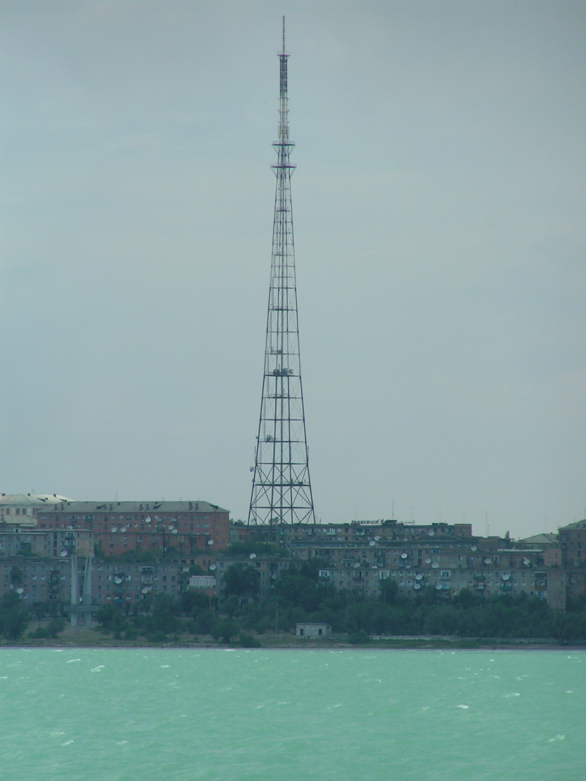
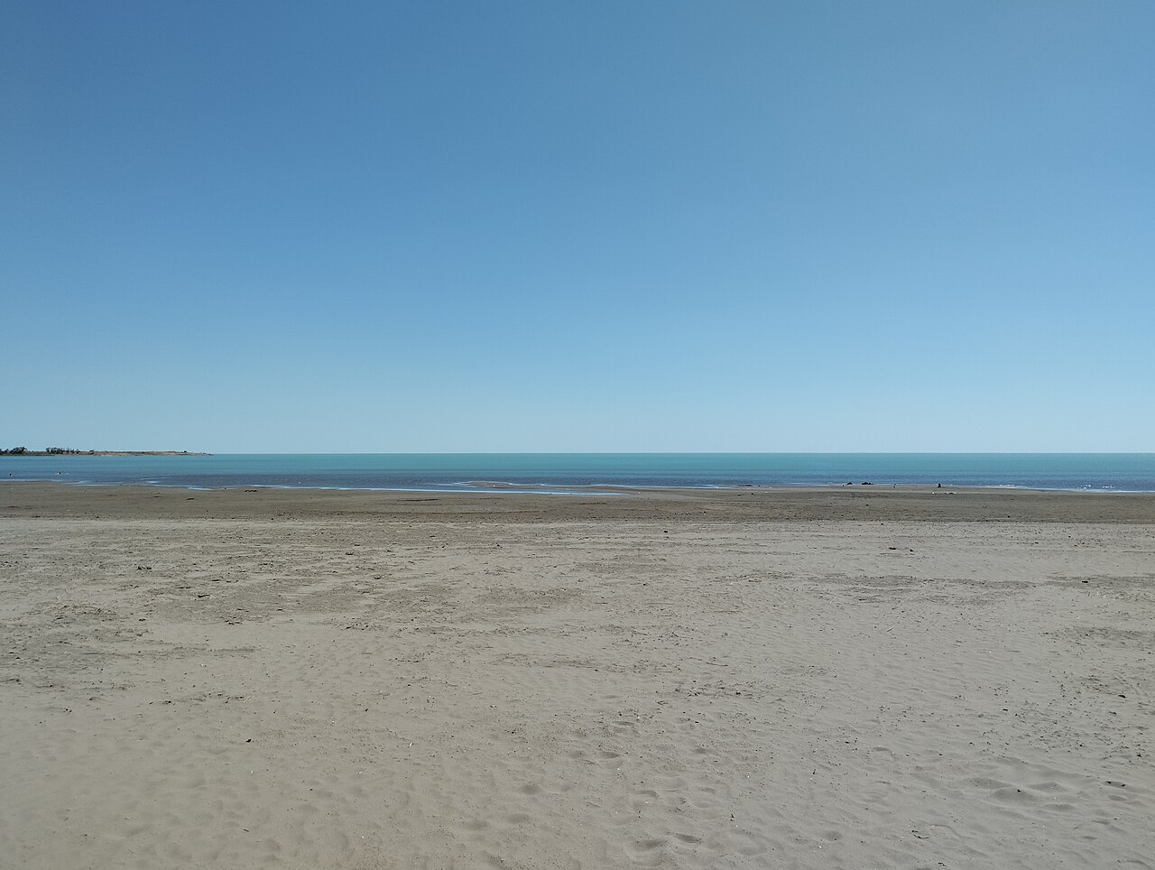
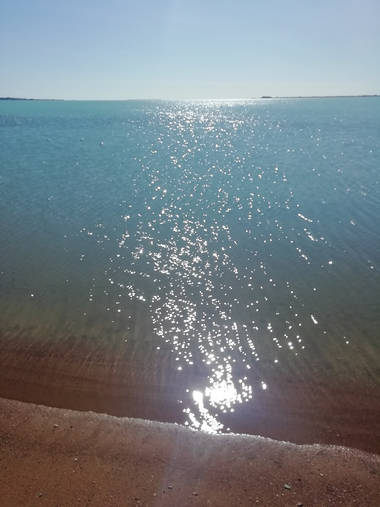
Frequently Asked Questions
What is Lake Balkhash?
Lake Balkhash (sometimes spelled Balqash) is a large endorheic lake in southeastern Kazakhstan, sitting within the Balkhash-Alakol Basin. It is one of the biggest lakes on the Asian continent and ranks around 15th in the world by surface area.
Why does Lake Balkhash have two different halves?
The western basin holds freshwater while the eastern basin is saline, with the two sections joined only by a narrow strait. The eastern side also gets considerably deeper, reaching 26 meters at its maximum, whereas the lake-wide average depth is just about 5.8 meters.
Where exactly is Lake Balkhash located?
It sits in southeastern Kazakhstan, nestled in the Balkhash-Alakol Basin. As of the year 2000, its surface area measured roughly 16,400 square kilometers.
What river feeds Lake Balkhash?
The Ili River is the dominant source of water flowing into the lake, delivering roughly 73 to 80 percent of all inflow. Without that single river, the lake would lose the bulk of its replenishment.
Why is Lake Balkhash shrinking?
Large-scale water diversion and extraction for agriculture and industry have steadily drawn down the lake's volume over recent decades. This ongoing loss has sparked growing environmental concern about the health of the surrounding ecosystem.
More in Rivers And Lakes 1-17
Spotted an error? Know more?
This is a living reference — every entry is fact-audited, and reader corrections feed straight into our audit queue. Suggest an edit · See this site's audit record