Irrawaddy River
Principal river of Myanmar, vital for commerce, agriculture, and biodiversity.

via Wikipedia: Irrawaddy River · see source
The Irrawaddy River (Burmese: ဧရာဝတီမြစ်, official romanisation: Ayeyarwady) is the principal river of Myanmar, running through the centre of the country. It is about 1,350 mi (2,170 km) long, originating from the confluence of the N'mai and Mali rivers in Kachin State and flowing south to empty through the Irrawaddy Delta into the Andaman Sea. As Myanmar's most important commercial waterway, its drainage basin covers about 156,000 mi² (400,000 km²), or 61% of the land area of Burma, and contains five of its largest cities.
- known_for
- Principal commercial waterway of Myanmar; habitat of Irrawaddy dolphin and Gange
Lore & Background
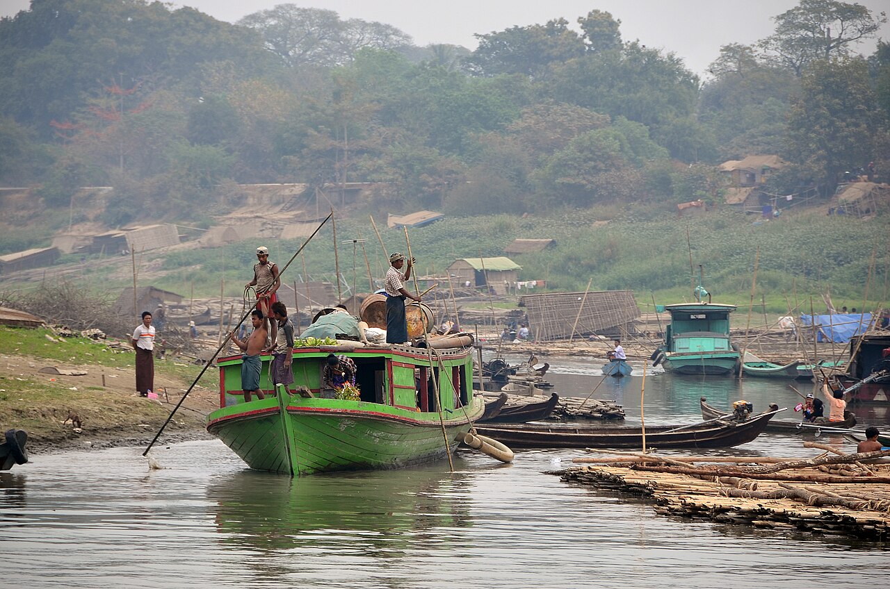
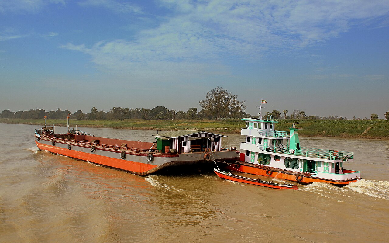
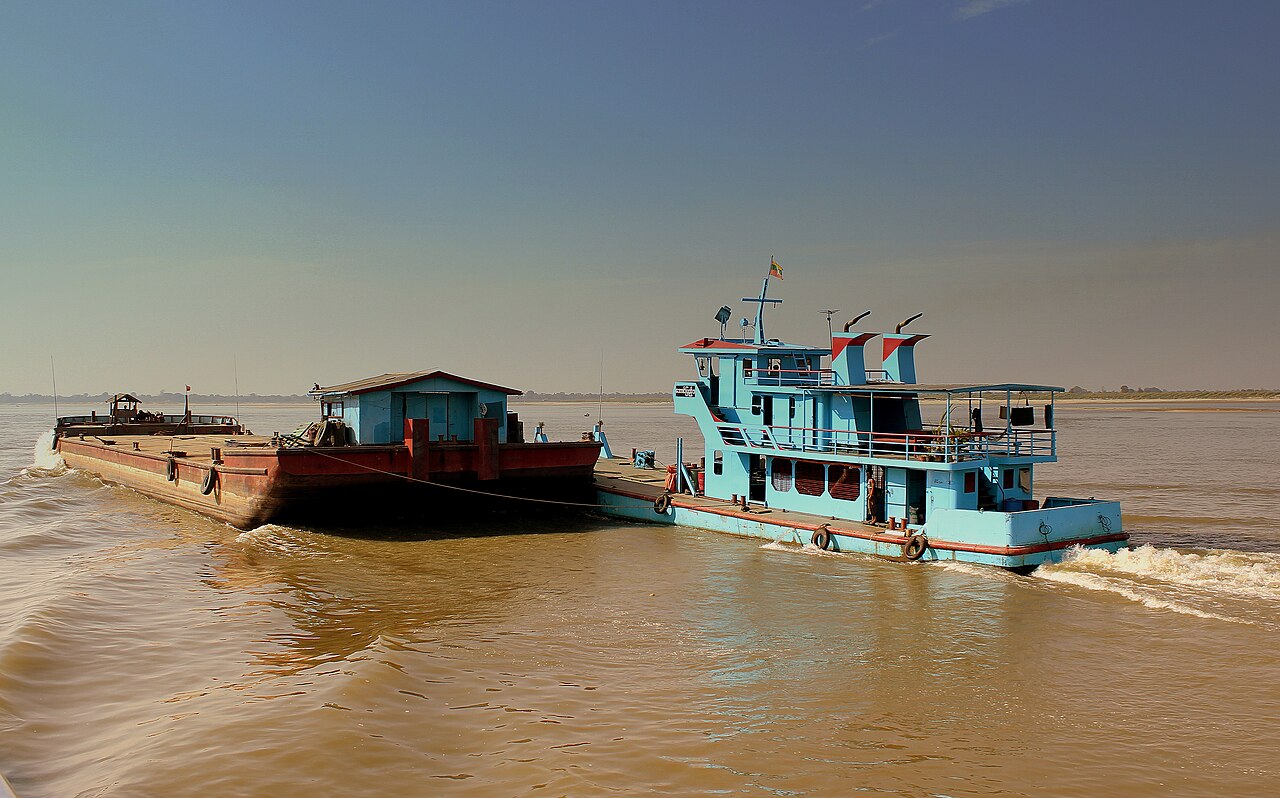
As early as the sixth century, the Irrawaddy was used for trade and transport, and an extensive network of irrigation canals was developed to support agriculture. The river remains the largest commercial waterway of Myanmar, providing ecosystem services to agriculture, fisheries, and tourism. In 2007, Myanmar's military dictatorship signed an agreement for the construction of seven hydroelectric dams on the N'mai and Mali Rivers, including the 3,600 MW Myitsone Dam at their confluence, though environmental organisations have raised concerns about its ecological impact on biodiverse ecosystems, including the endangered Irrawaddy dolphin and the critically endangered Ganges shark.
Reader's Guide
The Irrawaddy River is central to Myanmar's geography, economy, and culture. It bisects the country from north to south, flowing through three defiles between Myitkyina and Mandalay, then through the central Dry Zone—the ancient cultural heartland of the Bamar people—before uniting with the Chindwin River and meandering through petroleum-producing regions. Its delta, beginning about 93 km above Hinthada, extends into the Andaman Sea at a rate of about 50 metres per year, with fertile alluvium supporting intensive agriculture. The river's name derives from Pali, linked to the elephant mount of Sakka and Indra in Hinduism, and it gives its name to the Irrawaddy dolphin. During the Age of Discovery, European explorers knew it as the Pegu. The river's hydrography is dominated by monsoonal rains, with discharge varying greatly between seasons, and its sediment load exceeds 600 Mt/yr when combined with the Thanlwin River, shaping the Gulf of Martaban and the eastern Bay of Bengal.
Did You Know?
- The Irrawaddy River is about 1,350 miles (2,170 km) long.
- Its drainage basin covers about 156,000 mi² (400,000 km²), or 61% of the land area of Burma.
- The river's name comes from Pali and is linked to Irāvatī or Airāvatī, the elephant mount of Sakka and Indra in Hinduism.
- The Irrawaddy dolphin (Orcaella brevirostris) is named after the river but is also found in the Bay of Bengal and the Indian Ocean.
- In 2007, Myanmar's military dictatorship signed an agreement for seven hydroelectric dams on the N'mai and Mali Rivers, including the 3,600 MW Myitsone Dam.
Geography & the River's Course
The Irrawaddy stretches roughly 2,170 kilometres (1,350 miles) as it bisects Myanmar from north to south, making it the country's principal waterway. Its journey begins where the N'mai and Mali rivers converge in Kachin State; both headwaters trace back to Himalayan glaciers near 28° north latitude, with the N'mai rising specifically from the Languela Glacier north of Putao. The N'mai, the larger eastern branch, carries such a fierce current that it remains unnavigable, while the smaller Mali to the west is passable despite scattered rapids. Moving southward, the river carves through three distinct defiles between Myitkyina and Mandalay, including a dramatic limestone gorge below Bhamo where vertical cliffs rise 60 to 90 metres on either side of a channel barely 90 metres wide. Near Kabwet, the Holocene Singu Plateau—a 62-square-kilometre volcanic field also called Letha Taung—forces the river into a sharp westward bend. After joining the Chindwin, the Irrawaddy eventually fans out into a nine-armed delta whose base spans roughly 290 kilometres facing the Andaman Sea, with the Pathein River marking its western edge and the Yangon River its eastern boundary.
Names, Myths & Cultural Resonance
The river's name carries deep mythological roots. Derived from Pali, "Irrawaddy" echoes Irāvatī or Airāvatī, the celestial elephant that serves as the mount of Sakka (Indra) in Hindu tradition. In Buddhist contexts, Saka holds the role of an important deva, and elephants have long symbolised water across South Asian cultures—a connection that also names the Achiravati river. An alternative etymology links the name to Iravati, the mythological mother of the great elephant. During the Age of Discovery, European navigators knew the waterway as the Pegu, after the Hanthawaddy kingdom whose capital (today's Bago) gave the region its name; this is distinct from the modern Bago River, a tributary of the Yangon. In the English-speaking world, the river is affectionately remembered through Rudyard Kipling's verse as "The Road to Mandalay." Its influence on local fauna is equally notable: the Irrawaddy dolphin (Orcaella brevirostris) takes its common name from the river, though the species also inhabits the Bay of Bengal and the wider Indian Ocean.
Ecological Role & Living Resources
The Irrawaddy sustains a remarkably diverse web of life and provides critical ecosystem services across agriculture, fisheries, and tourism. Among its most iconic inhabitants is the Irrawaddy dolphin, a small cetacean that frequents the river's lower reaches and is known to assist local fishers practising cast-net techniques. The river also shelters the critically endangered Ganges shark, underscoring the waterway's importance for threatened species. In the delta region, annual rainfall of 2,000 to 3,000 millimetres deposits fine silt that continuously replenishes the soil, creating extraordinarily fertile alluvial flats ideal for cultivation. The drainage basin, spanning roughly 400,000 square kilometres, encompasses 61 percent of Myanmar's total land area and cradles five of the nation's largest cities. Since at least the sixth century, communities have relied on the river for trade, transport, and an extensive network of irrigation canals that support rice-growing. Today it remains Myanmar's largest commercial waterway, linking coastal ports to inland markets and sustaining livelihoods from the glacier-fed headwaters to the nine-armed delta mouth.
Hydroelectric Ambitions & Environmental Tensions
In 2007, Myanmar's military government signed a landmark agreement authorising the construction of seven hydroelectric dams along the N'mai and Mali rivers, with a combined generating capacity of 13,360 megawatts. The flagship project, the Myitsone Dam, was designed to produce 3,600 megawatts at the very confluence where the two source rivers meet. Environmental organisations immediately raised alarms, warning that the cascade of structures would disrupt the river's biodiverse ecosystems and threaten species already under severe pressure, including the endangered Irrawaddy dolphin and the critically endangered Ganges shark. The dams would alter flow regimes, sediment transport, and habitat connectivity across a basin that covers nearly two-thirds of the country. Although the Myitsone Dam is no longer under construction at the confluence, the broader tension between large-scale energy development and the preservation of one of Southeast Asia's most ecologically significant river systems remains unresolved. The Irrawaddy's role as a living commercial artery, a cultural touchstone, and a habitat for rare species makes any major alteration to its natural course a matter of profound national and international concern.
Gallery
Frequently Asked Questions
What is the Irrawaddy River?
The Irrawaddy (officially romanized as Ayeyarwady) is Myanmar's central and longest river, stretching roughly 2,170 kilometers from the Kachin State highlands down to the Andaman Sea coast.
What role does the Irrawaddy River play in Myanmar?
It serves as the country's primary commercial waterway, underpinning trade, agriculture, and transport across the nation. Its drainage basin spans about 400,000 square kilometers, covering roughly 61% of Myanmar's total land area.
Where does the Irrawaddy River's journey end?
After flowing southward through the heart of the country, the river fans out into the Irrawaddy Delta before emptying into the Andaman Sea.
Why is the Irrawaddy River important?
It is the economic and cultural backbone of Myanmar, providing the main route for commerce, irrigation for farmland, and a habitat for unique aquatic species. Several of the country's largest cities are built along its banks, though notable exceptions like Naypyidaw and Mawlamyine lie elsewhere.
What notable wildlife is associated with the Irrawaddy River?
The river is home to the Irrawaddy dolphin and the Irrawaddy river shark, both species named after the waterway itself.
More in Rivers And Lakes 1-17
Spotted an error? Know more?
This is a living reference — every entry is fact-audited, and reader corrections feed straight into our audit queue. Suggest an edit · See this site's audit record